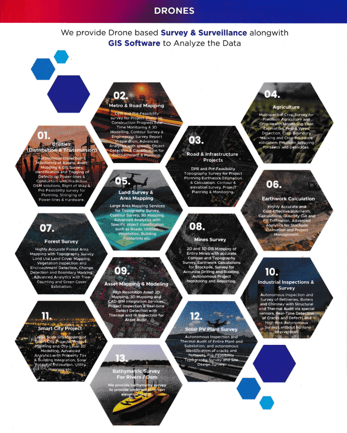
DRONES

In the age of computing, ‘data’ is of prime importance, be it for landmasses or for the smart grid. It plays a crucial role in decision making and improves the implementation of the ideas. We provide an excellent service with UAV ‘Drones’ and a variety of sensors for efficient yet reliable data acquisition & processing, providing high standards analytics to gain insights into the data. Enhancing the quality of decision making and implementation of the project on the field.

In the extremely competitive world of today, you need to form strategic alliances that can offer you business gains. This is where we come in. With our years of industry experience and a skilled, dedicated task force, we can bring a positive change that will boost your business and take it to new horizons.

With our myriad services that are cost-effective and of the highest quality, we make sure to meet your every requirement for analytics. We provide a combined platform of consultancy, data acquisition & processing for industries ranging from land survey & mapping, solar PV plant survey, power transmission & distribution lines, wind turbines, roads & railways, construction engineering, industrial inspections, slum mapping to IT services using drones.

We provide the perfect solutions of converting captured on-field details on to computer screens, giving power and access to our clients to look forward to potential development.

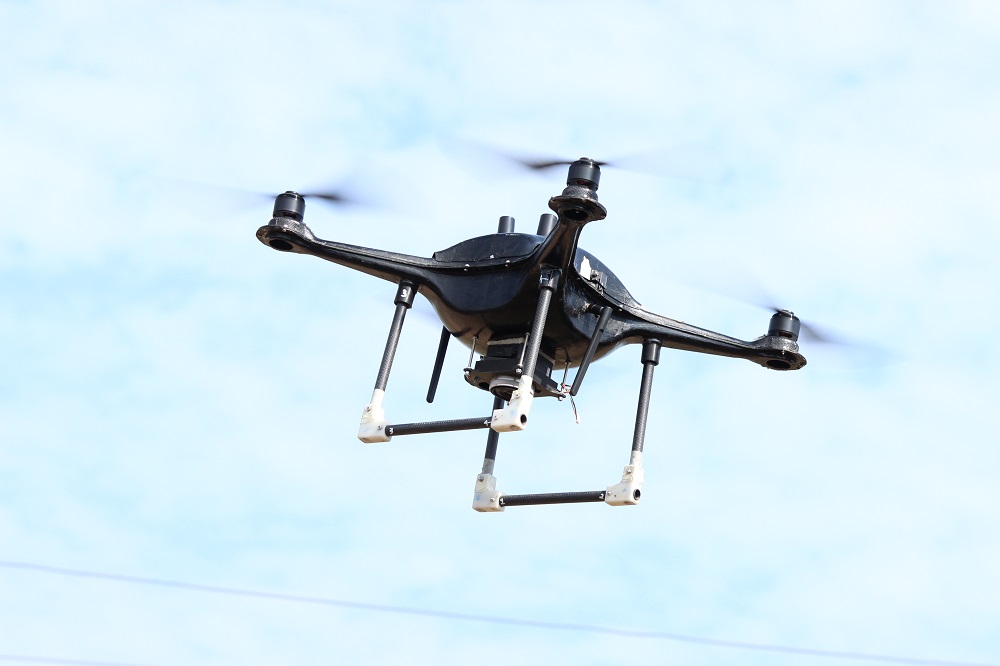
Drones for Applications of Survey and Surveillance:
– Kingfisher
– Eagle VTOL

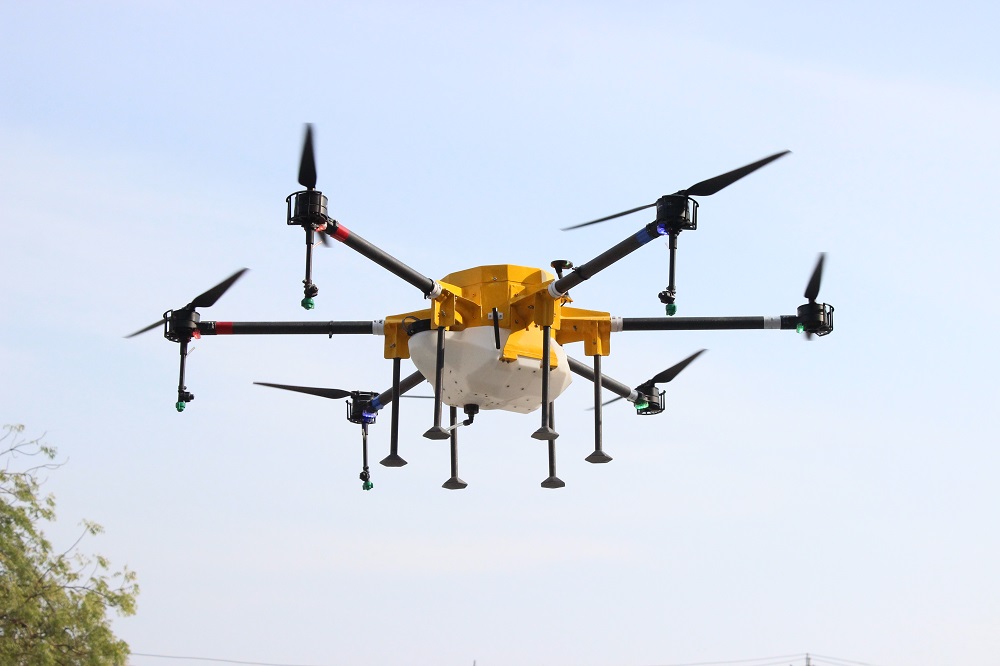
Drones for Applications of Agriculture:
– Falcon

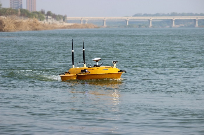
Drones for Applications of Underwater Surveillance:
 – Bathymetry

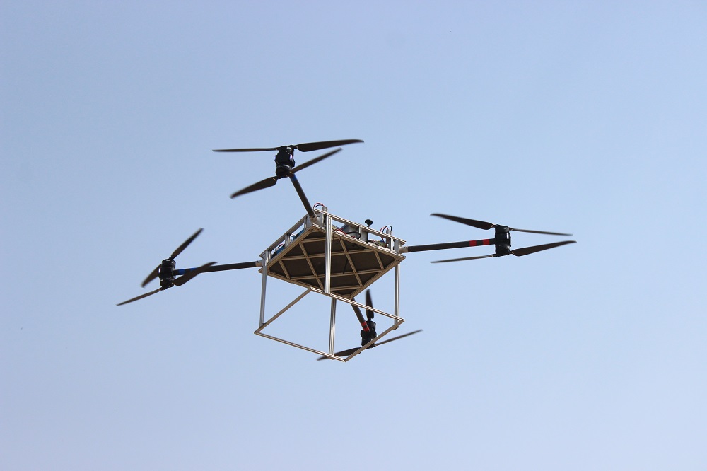
Drones for Applications of Logistics:
– Raptor

Drone based Survey & Surveillance targeting the following industries:

Utilities - Distribution & Transmission:

Autonomous Inspection & Monitoring of Assets, Asset Mapping & GIS Survey. Identification and Tagging of Defects on Power-lines & Conductors with Predictive O&M solutions, Right of Way & re Feasibility survey for Planning, Stringing of Power-lines & Hardware.

Metro & Road Mapping:

DPR and Pre-Feasibility survey for Project Planning, Construction Progress Real Time Monitoring & 3D Modelling, Contour Survey & Engineering Survey Report Preparation, Advanced Analytics with specific Object Detection & Classification for Encroachment & Planning.

Road & Infrastructure Projects:

DPR & Pre-Feasibility Topography Survey for Project Planning Earthwork Estimation & Calculation, Contour & elevation survey, Project Planning & Monitoring.

Agriculture:

Multispectral Crop Survey for Precision Agriculture and Crop Health Monitoring Yield Estimation, Pest & Weed Detection. Crop Boundary Marking and Crop Insurance validation. Precision Spraying for seeds and pesticides.

Land Survey & Area Mapping:

Large Area Mapping Services for Topography Survey, Contour Survey, 3D Mapping, Advanced Analytics with Specific object classification such as Roads, Utilities, Vegetation, Building Footprints etc.

Earthwork Calculation:

Highly Accurate and Cost-Effective Volumetric Calculations, Quantity Cut and Fill Estimation, Advanced Analytics for Stockpile Estimation and Project Management.

Forest Survey:

Highly Accurate Forest Area Mapping with Topography Survey Land Use Land Cover Mapping, Vegetation Inspection and Encroachment Detection, Change Detection and Boundary Marking. Advanced Analytics with Tree Counting and Green Cover Estimation.

Mines Survey:

2D & 3D GIS Mapping of Entire Mines with Accurate Contour and Topography Survey, Earthwork Calculations for Stockpile, Survey for Accurate Drilling and Blasting, Autonomous Project monitoring and Reporting.

Asset Mapping & Modelling:

High Resolution Asset 2D Mapping, 3D Mapping and CAD-BIM Integration Services, Project Inspection & Real-time Defect Detection with Thermal and IR Inspection for Asset Audit.

Industrial Inspections & Survey:

Autonomous Inspection and Survey of Refineries, Boilers and Chimney with Structural and Thermal Audit via special sensors. Real-Time Detection of Cracks and Defects and High-Risk Autonomous Surveys without human intervention.

Smart City Project:

Large Scale GIS Mapping of Smart City Projects, Project Planning and City-Level 3D Modelling, Advanced Analytics with Property Tax & Building Integration, Solar Potential Estimation, Utility Planning etc.

Bathymetric Survey for Rivers / Dams:

Bathymetry survey to provide underwater terrain elevation profile.